Macau may see frequent showers and occasional thunderstorms, along with possible flooding due to short-term heavy rainfall today and tomorrow due to the influence of the rainbands* associated with a tropical depression in the central South China Sea, the local observatory noted on its website yesterday afternoon.
Strong Wind Signal No.3 was hoisted at noon yesterday due to the effects of the tropical depression, remaining in effect throughout the day. By 11 p.m., the bureau cancelled all tropical cyclone signals, the SMG website added, noting that the cyclone near Hainan Island was over 600 kilometres away from Macau and gradually moving away.
However, affected by its outer rainbands, the possibility of frequent showers and occasional thunderstorms over the next two days remained, while wind speeds may reach Force 6, the statement said, with members of the public urged to pay attention to the latest weather information and related warnings.
*A rainband is an elongated area of precipitation that typically forms in association with weather systems like tropical cyclones, cold fronts, or warm fronts. These bands can extend for many kilometres and are characterised by varying intensities of rain, often accompanied by thunderstorms and strong winds. Rainbands can lead to heavy rainfall and are usually found in curved shapes around the centre of a storm, contributing to the overall weather conditions in the affected area. – Poe
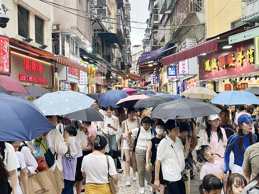
Tourists shelter under umbrellas while walking to and from Macau’s UNESCO World Heritage-listed Ruins of St. Paul’s on Calçada de S. Paulo yesterday afternoon. – Photo Rui Pastorin